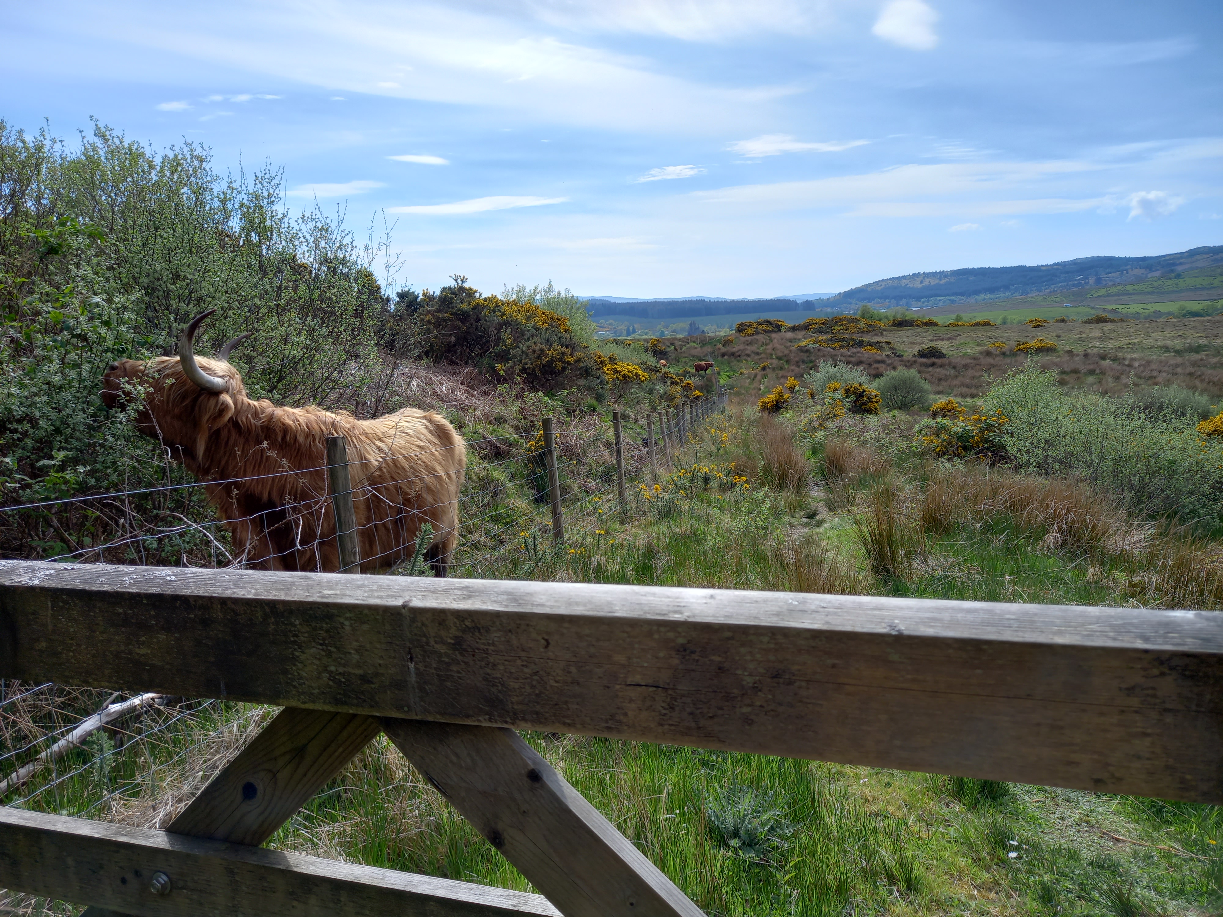
This route is sort of an extra as its a bit out the way but it’s good fun so I thought I’d include it. You should only do this route if you are able to carry your bike as there’s a bit of pushing it through a wood where there isn’t really a path (only ~100m). I’m planning on taking some secateurs up and making it more of a path in the future. Because it’s a figure of 8, you can split it into 2 smaller loops, or just use parts of it to avoid the road.
Stats
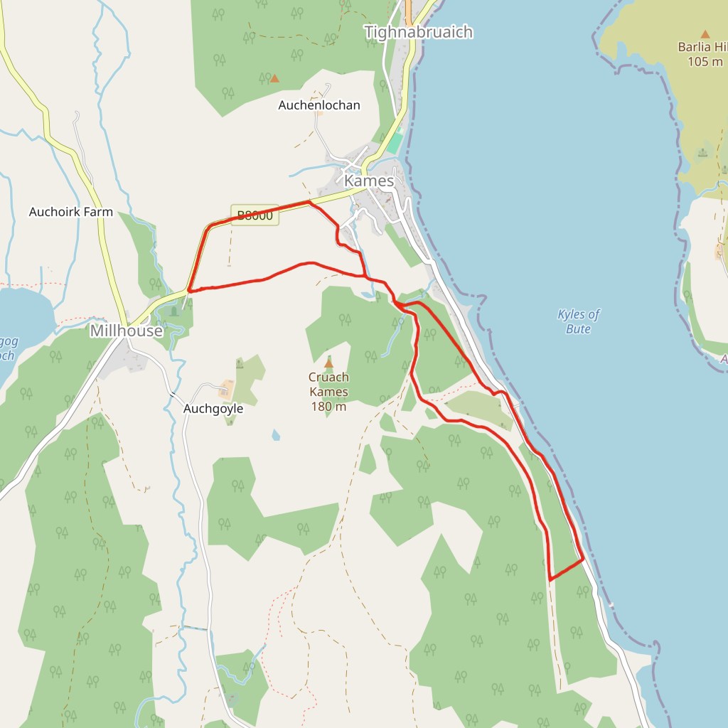
Distance: 8.1km
Ascent: 216m
Offroad: 61%
Tyres: 2/5
Directions
Start at the golf course turn in. Follow this track turning right then through the course, continuing through a gate uphill before taking a left down a steep downhill. When you start going up again and seeing big trees on your left look out for a small waterfall on the right. Just after this cut down to the shore road. It looks impossible but the first 10m is the worst and after that its still a challenge but not too hard. On the road turn left back to Kames but at the tank slip take the gravel path at the back to the track you were on before. Turn first right then left. Stay on this path, through a gate following Cowal way signs down to the road. Turn right and back to the start.
Click here to download a gpx file of the route, or Click here to download or view the route on an interactive map
Route updates
Golf course figure of 8 – 06/01/25 – Due to Fallen trees where the path cut down to the shore road, path changed to further along the track, just after the stream.
